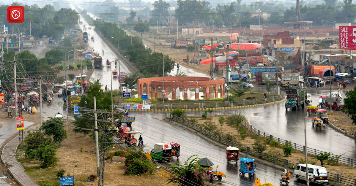
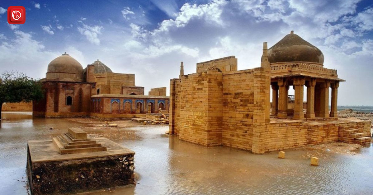
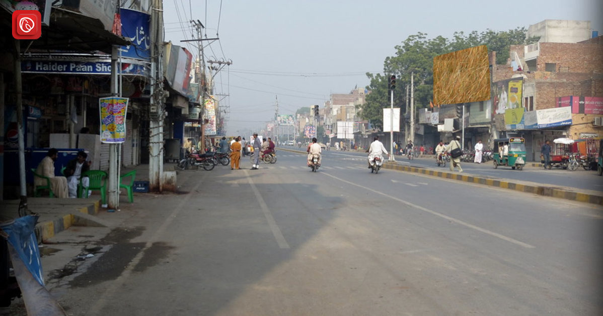
Located on the border of India, approximately 30 miles south of Lahore, Kasur’s significance transcends its geographical position. From its purported foundation by Kusa, son of the legendary Hindu figure Rama, to its evolution as a bustling municipality in 1867, Kasur’s journey reflects a rich tapestry of historical settlements and cultural influences.
With its 26 fortified hamlets overlooking the fertile valleys of the Beas and Sutlej rivers, Kasur stands as a testament to resilience and fortitude. Join Graana.com as we delve into the vibrant tapestry of Kasur postal codes, exploring its economic activities, institutional presence, and the vibrant pulse that defines this remarkable city.
Location
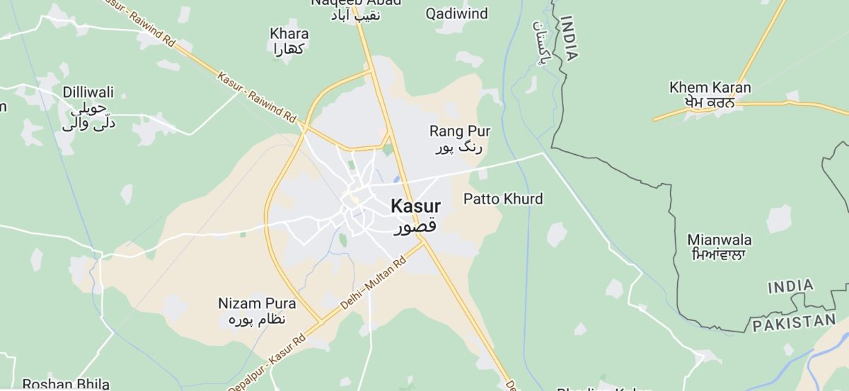
Located in the eastern Punjab province of Pakistan, Kasur is a city of historical significance and strategic positioning. Situated on the border of India, roughly 30 miles south of Lahore, Kasur holds a pivotal place in the region’s landscape.
According to local lore, Kasur’s origins date back to ancient times, with tradition suggesting it was established by Kusa, the son of the legendary Hindu figure Rama. Over time, it evolved through various historical periods, notably during the Mughal era when it was settled by a Pashtun colony and later captured by the Sikhs in 1807. In 1867, it was formally incorporated as a municipality, marking a milestone in its development.
Geographically, Kasur boasts a landscape characterised by 26 fortified hamlets overlooking the alluvial valleys of the Beas and Sutlej rivers. This terrain not only adds to its visual appeal but also underscores its strategic importance.
Additionally, essential institutions like hospitals and colleges affiliated with the University of the Punjab contribute to its overall infrastructure. The surrounding area of Kasur features a flat alluvial plain bordered by the Ravi River to the northwest and the Sutlej River to the southeast.
| Aspect | Information |
| Location | 55 km south of Lahore. |
| Latitude (North) | 30° 00′ to 31° 20′ N |
| Longitude (East) | 73° 38′ to 74° 41′ E |
| Boundaries | North: Lahore district
East and South-East: India, South-West: Okara District, North-West: Nankana Sahib District |
| Area | 3,995 sqkm |
| Tehsils | 4 (Kasur, Chunian, Pattoki, Kot Radha Kishan) |
| Municipal Committees | 10 |
| Union Councils | 125 |
| National Assembly Seats | 4 |
| Provincial Assembly Seats | 9 |
| Villages | 641 |
| Total Population (2017 Census) | 3.46 million (Urban: 25%, Rural: 75%) |
| Kanungoi Circles | 24 |
| Patwar Circles | 192 |
| Total Area (acre) | 975,462 |
| Cultivated Area (acre) | 808,110 |
| Uncultivated Area (acre) | 167,352 |
List of Postal Codes Kasur
Here is a list of Kasur postal codes.
| Post Office | Postal Code |
| Bhai Pheru | 55260 |
| Bhambha | 55142 |
| Changa Manga | 55200 |
| Chunian | 55220 |
| Chunian Cantt SO | 05521 |
| Clarkabad | 55190 |
| Ellahabad | 55230 |
| Ganda Singh Wala | 55100 |
| Jamber Kalan | 55250 |
| Kanganpur | 55000 |
| Kangra Kasur | 55154 |
| Kasur GPO | 55050 |
| Kasur Kutchery SO | 05502 |
| Kasur Mandi SO | 05503 |
| Kasur NPO | 05501 |
| Khudian | 55030 |
| Kot Radha Kishan | 55180 |
| Mustafabad | 55110 |
| Naseerabad Textile Mills | 55060 |
| Pattoki | 55300 |
| Raiwand Mandi SO | 05511 |
| Raja Jang | 55140 |
| Robby Taxtile Mill Kasur | 55170 |
| Talwandi | 55020 |
| Usman Wala | 55010 |
| Wan Radha Ram | 55360 |
History of Kasur
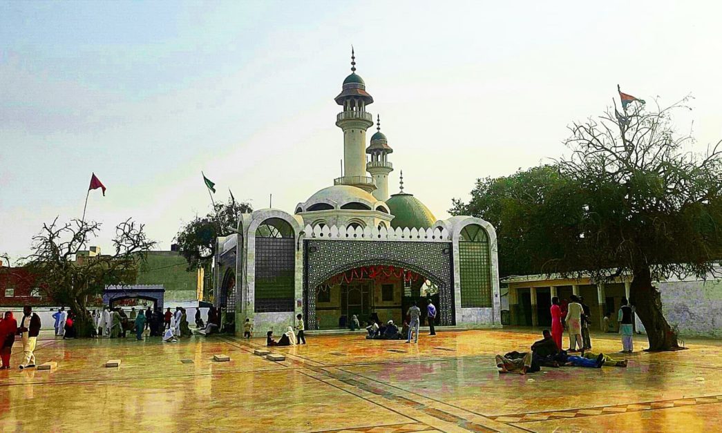
Kasur District, situated in Punjab, Pakistan, has a rich history dating back centuries. Established as a separate district on July 1, 1976, it was previously part of Lahore District. Kasur City, the district capital and birthplace of renowned Sufi poet Bulleh Shah holds cultural significance.
Over time, the region saw the rise and fall of various empires, including the Ghaznavid dynasty, the Delhi Sultanate, and the Mughal Empire, each leaving its mark on Kasur’s landscape. Under the Mughal rule, the city prospered as a center for trade and commerce.
Later, Sikh forces invaded and occupied the district, followed by British colonial rule, which brought about significant infrastructural developments such as irrigation canals. Throughout history, Kasur has been shaped by diverse influences.
This includes the missionary efforts of Sufi saints, leading to a predominantly Muslim population. The partition of India in 1947 led to demographic changes, with Hindus and Sikhs migrating to India and Muslim refugees settling in Kasur. This intricate tapestry of conquests, migrations, and cultural exchanges defines Kasur’s unique heritage and identity.
FAQs
Following are some of the top FAQs on Kasur.
What is Kasur, and where is it located?
Kasur is a district in the Punjab province of Pakistan.
What is the history of Kasur?
Kasur has a rich historical background, having been part of various empires throughout the centuries, including the Ghaznavid dynasty, the Delhi Sultanate, and the Mughal Empire. It was later occupied by Sikh forces and came under British colonial rule.
What are some notable landmarks in Kasur?
Kasur includes historical sites like Changa Manga Forest, and religious sites like Baba Bulleh Shah’s Shrine.
How is the transportation network in Kasur?
Kasur has road links to nearby cities like Lahore, Amritsar, and Firozpur, and railway connections to major urban centres.
What is the population demographic of Kasur?
As of the last census, Kasur has a population of approximately 3.46 million people, with a mix of urban and rural residents.
What languages are spoken in Kasur?
The primary language spoken in Kasur is Punjabi, with Urdu also widely understood and spoken, especially in urban areas.
Are there any educational institutions in Kasur?
Yes, Kasur is home to several educational institutions, including schools, colleges etc.
What is the climate like in Kasur?
Kasur experiences a typical Punjab climate, characterized by hot summers and relatively mild winters. The region receives most of its rainfall during the monsoon season.
Is Kasur a safe place to visit?
Like any other region, Kasur has its own safety considerations.
This was all about Kasur. For more information, visit Graana.com.
