Hangu’s administrative district is found in Pakistan’s Khyber Pakhtunkhwa province’s Kohat Division. The town of Hangu is the namesake of the district and acts as its administrative hub. In certain cases, the Miranzai Valley, which is next to the Samana Range and partially inside the district, is also included under the term “Hangu.”.
In this blog, Graana.com brings you a comprehensive account of the district of Hangu.
Location
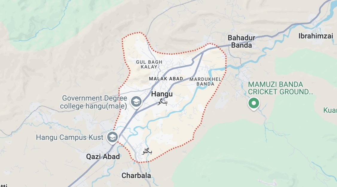
The geographic coordinates of the Hangu district are mentioned here. The longitude is between 70° 29′ to 71° 14′ east, and its latitude is from 33° 15′ to 33° 35′ north. Regarding the surrounding areas:
- Orakzai Agency (now a district of KPK) is in the north.
- Kohat district in the east and southeast
- Karak district is in the south.
- Southwest: Tribal Areas that border North Waziristan Agency and Bannu District
- Kurram Agency (now a district of Khyber Pakhtunkhwa) is in the northwest.
Key Features of the Hangu District
| Category | Description |
|---|---|
| Name of District | Hangu District |
| Headquarters | Hangu Town |
| Population | 518,798 persons |
| Area | 1,097 km² |
| Population Density | 375.9 persons / km² |
| Growth Rate | 2.7% |
| Major Economic Activity | Agriculture with its Allied Livestock |
| Breeding & Fishing (46.7%) | |
| Manufacturing (1.8%) | |
| Construction (7.7%) | |
| Wholesale/Retail, Hotel /Restaurant (11.4%) | |
| Transport, Storage & Communication (7.3%) | |
| Community, Social & Personal Service (23.8%) | |
| Others (1.3%) | |
| Main Crops | Mustard, canola, rapeseed, moong, sugarcane, |
| groundnut, rice, maize, barley, bajra, and wheat | |
| Major Fruits | Citrus, loquat, guava, apricot, apple, |
| peach, pears, plums, nuts, and fig | |
| Major Vegetables | Onions, garlic, coriander, okra, spinach, |
| brinjal, cabbage, potato, and tinda | |
| Industrial Zones | No industrial Estates; there are 4 Industrial |
| Units registered and running in the district | |
| Major Industry | 4 Flour Mills |
Places to Visit in Hangu
Hangu is located in the north-western province KPK and is one of the top tourist destinations in the northern Pakistan. Following are some of the top places to visit in Hangu.
Samana Range
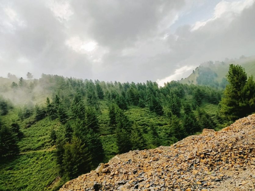
A peaceful sanctuary for anyone looking to escape the bustle, the Samana Range lies in KPK, Pakistan. Located approximately 6,000 feet above the sea level, this alpine wonderland is only a 3-hour drive from Kohat city.
The tranquil environment created by lush green meadows, dense forests, and captivating mountains is ideal for relaxing and getting back in touch with nature. Summers are nice, and winters provide a fresh coat of snow that changes the scenery.
Usually, guests arrive early in the morning accompanied by their loved ones. Before entering the Samana Range, make sure to stop at the busy Hangu Bazaar and fill up on supplies. Bakeries, supermarkets, and fresh vegetable sellers make sure you have all you need for a relaxing visit. The popularity of barbecue adds to the allure of the activity.
Although Samana is reached by a winding, difficult route, the place is a hidden treasure. The construction of suitable accommodations and amenities would enable guests to stay later and fully appreciate this area’s splendour.
The Samana Range in Pakistan has the potential to develop into a premier mountain resort with a small investment. But even as it stands, it provides a singular and wonderful memory for anyone looking for peace and breathtakingly beautiful surroundings.
Jawzara Springs
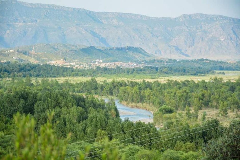
Jawzara, also known as Khwaja Khizar, is a small village in the Pakistani district of Hangu, KPK. During the summer, visitors from outside the area come to this stunning location. There is a well-known water source in the region. Its population is extremely small. It features meadows, hills, mountains, and verdant pastures. There is visible vegetation everywhere.
Naryab Dam
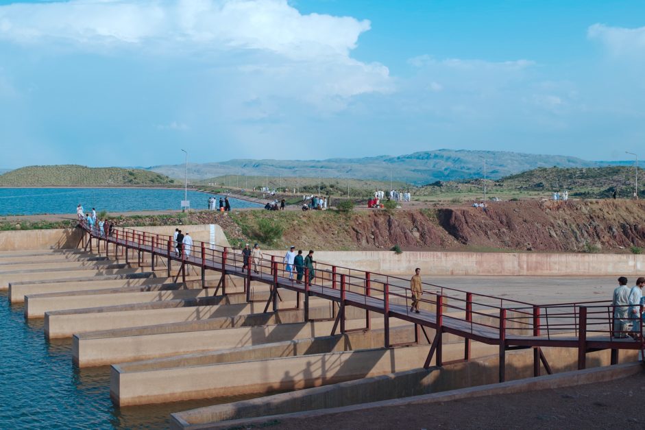
The Naryab Dam is in the middle of the agricultural region of Khyber Pakhtunkhwa, in the Hangu district. This dam is not just a beautiful location; it has a very important function.
Naryab Dam, one of several tiny dams built across the province, ensures the region’s continuous productivity by supplying irrigation water for the nearby areas. This is especially important when there is a drought, which makes the dam essential to the region’s agricultural industry.
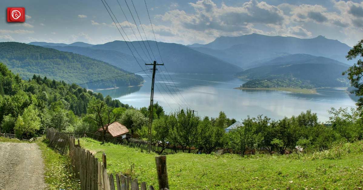
In addition to its agrarian value, Naryab Dam provides tourists with a tranquil getaway. There is a serene ambiance created by the still river reflecting the surrounding scenery. Naryab Dam offers a pleasant break whether you’re looking for a peaceful picnic area or just somewhere to unwind and take in the fresh air.
The dam, which stands out for its practicality more than its majesty, is evidence of the inventiveness of regional water management initiatives. There are no other dams in the vicinity of Naryab Dam, which was created by electronics expert Mussadiq Khan Bangash.
It is a singular monument. The dam may draw several kinds of birds and wildlife, contributing to the area’s natural attractiveness for people passionate about the local ecology.
Kajory Talab
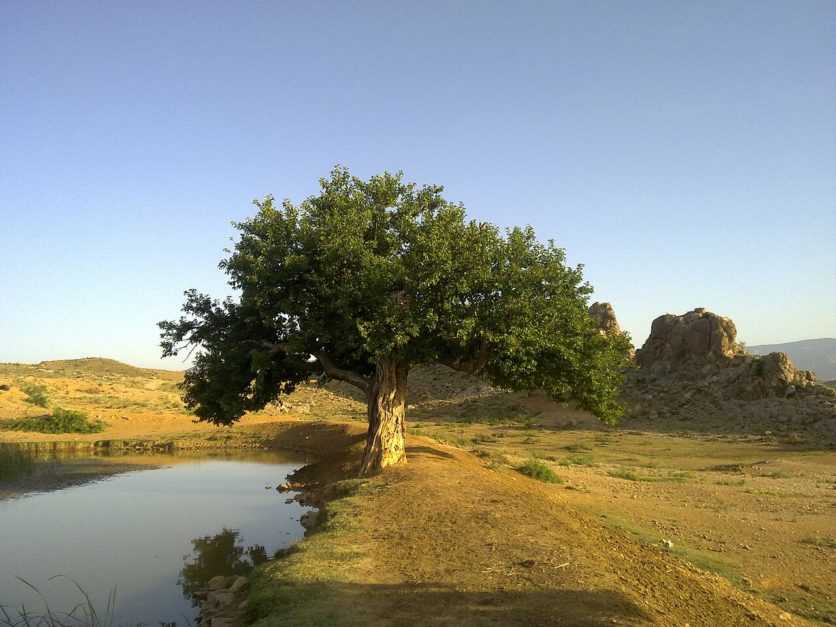
Kajory Talab is a man-made reservoir full of leisure opportunities, tucked away in Khyber Pakhtunkhwa’s Hangu district. Tranquil waters at this beautiful location make it ideal for a relaxing boat ride or a quiet picnic. This is one of the most famous lakes in Pakistan.
Fishermen swarm Kajory Talab to pit their prowess against an assortment of fish species. The environment of the lake attracts birdwatchers as well because of its varied birdlife, which enhances its natural attractiveness.
Beyond entertainment, Kajory Talab provides a peaceful haven. The tranquil settings offer a much-needed break from everyday life, enabling guests to unwind, think, and re-establish a connection with the natural world.
Economy of Hangu District
Hangu’s economy revolves around agriculture, with livestock breeding and fisheries playing a supporting role. This sector makes up a whopping 46.7% of the district’s economic activity.
| Sector | Percentage of Economic Activity |
| Agriculture (including Livestock Breeding & Fishing) | 46.7% |
| Manufacturing | 1.8% |
| Construction | 7.7% |
| Wholesale/Retail, Hotel /Restaurant | 11.4% |
| Transport, Storage & Communication | 7.3% |
| Community, Social & Personal Service | 23.8% |
| Others | 1.3% |
Agriculture
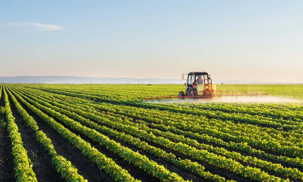
The rhythm of the rains drives Hangu’s agricultural heart. Known as a “barani” region, crops in this area rely primarily on precipitation. Farmers nevertheless grow a varied bounty.
Oilseeds, sugarcane, and groundnuts are grown alongside staple crops like wheat, barley, and maize in fields. Nut trees and exotic figs provide variation, and fruit orchards brim with citrus, peach, apricot, and plum fruits. Crucial veggies like potatoes, coriander, onions, and okra round out the harvest.
Hangu’s Livestock: A Means of Subsistence
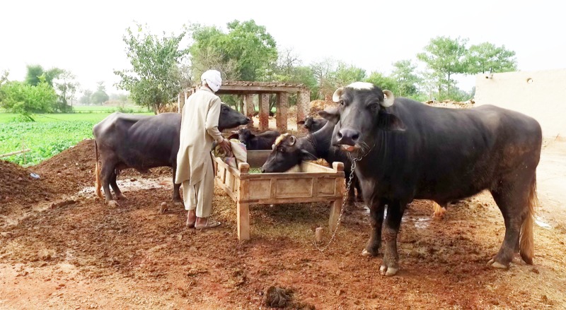
Hangu’s agricultural industry depends heavily on the breeding of livestock, with the province home to around 15 million animals and 22 million poultry birds.
But the main reasons why most farmers grow livestock are to provide for the nutritional needs of their families and to make a little extra cash. Traditional breeds with lower milk and meat production are used because large-scale commercial operations are less popular.
The Poultry Sector in Hangu
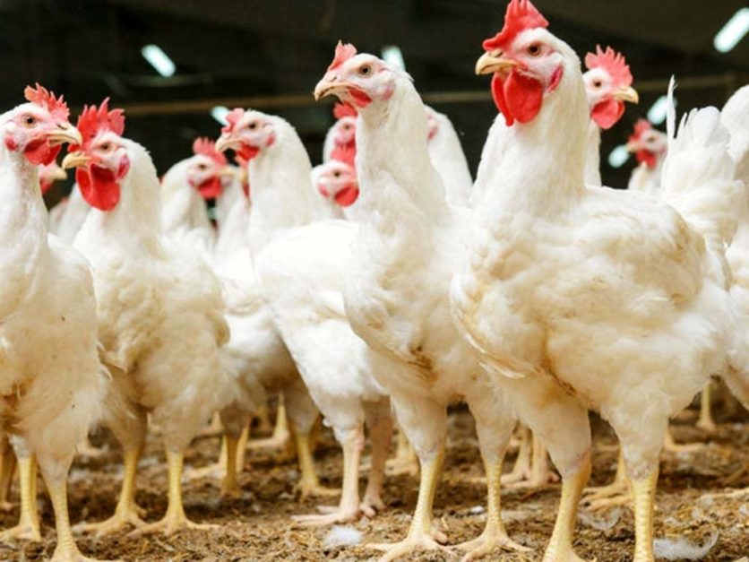
Hangu is home to 29 poultry farms. There is room for expansion in this industry, but more research is needed to determine the precise numbers of birds by flock size.
Hangu’s Beekeeping Sector
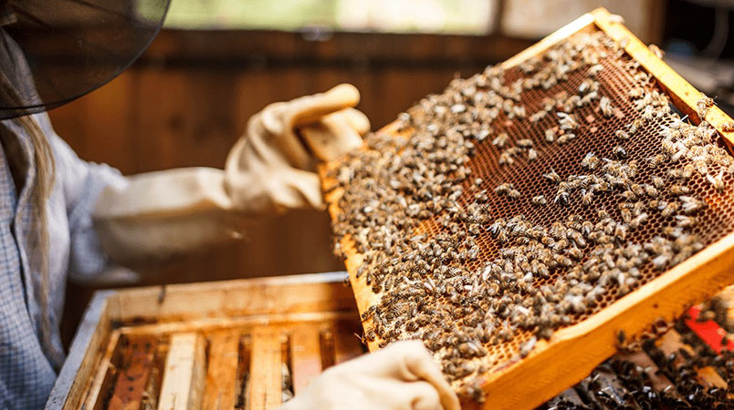
Hangu is a hub for producing honey, a valuable non-timber forest resource in KPK. Acknowledging this potential, the province government offers training programs on beekeeping and honey processing skills to rural areas to vigorously promote apiculture or beekeeping.
Mineral Wealth
Now, iron ore and marble mining are the only uses for Hangu’s mineral resources. On the other hand, encouraging signals point to the occurrence of laterite deposits and coal in the higher strata of the Hangu formation. In addition, the district’s Tal Block is the site of ongoing oil and gas exploration.
Hangu’s Irrigation System
Because Hangu is in the Northern Dry Mountain Agro-Ecological Zone, rainfall is the main source of agricultural productivity. To supplement this scarce water supply, the district’s agricultural areas are mostly irrigated by tube wells and springs.
Hangu’s Industrial Scene
Hangu does not yet have a lot of large-scale industry, but the district is well-served by its four registered flour mills. There is room for further expansion and diversification in this industry.
Handicrafts
Hangu is known for its Marzi palm handicrafts, which are highly sought-after not only in the district but also across Pakistan, showcasing the city’s artistic culture. The district’s rich handicraft legacy is further enhanced by leather items, needlework, and other crafts in addition to these handwoven creations.
Means of Transportation in Hangu
Although there used to be railway stations in the Hangu district, they are now closed. The Kohat district now has the closest train stations in service. Furthermore, Hangu lacks an airport; Peshawar International Airport is the nearest alternative.
Road travel is the main form of transit in Hangu. In Khyber Pakhtunkhwa province, roads facilitate the majority of passenger and freight transit, and Hangu is no exception. High-type and low-type are the two primary types of roads.
- High-type roads: These include motorways, national highways, provincial roads, and urban roads. They are paved, all-weather routes. Hangu has a substantial high-type road network that stretches over 375.5 kilometres in total.
- Low-type roads: Hangu has roughly 139.5 kilometres of these uneven or gravel routes.
The entire road system in the Hangu district is as follows:
| Road Type | Length (km) |
| High-Type | 375.5 |
| Low-Type | 139.5 |
| Total | 515.0 |
Post Offices and Postal Code of Hangu
The KP Development Statistics for 2018–19 show that there are 26 post offices serving the district, comprising 9 sub-post offices and 17 branch offices. Although the district does not have a single postal code, each Hangu post office will have a unique code for mail delivery.
How to Reach Hangu?
There are two automobile routes from Islamabad to Hangu. The quickest route is via Kohat – Fateh Jang Rd/Rawalpindi – Jand – Kohat Rd and Islamabad – Dera Ismail Khan Motorway/M-14, covering 230 km in 3 hours and 43 minutes. Here are the directions.
Additionally, you can get there by the Kohat Bypass, Dora Road/Indus Highway/Kohat Road/N-55, Peshawar Ring Road/AH1, and AH1/M-1Toll road (284.9 kilometres, 4 hours 16 minutes). Here are the directions. Another way to go from Islamabad to Hangu is via bus.
Languages Spoken in Hangu
Although a small minority speaks Punjabi (in the Majhi, Saraiki, and Hindko dialects), Pashto is the primary language in Hangu. Urdu, the official language of the country, is also used.
History of Hangu
Hangu, has a long history of cultural advancement and geopolitical importance. Now let’s explore its past:
The Strategic Location and Early Settlements (Uncertain Date – 6th Century AD)
- People were probably drawn to the area because of its convenient position at the face of the Hangu Pass, a major trading route, so it became the prime location for early settlements.
The Hindu Shahi Dynasty’s ascent (6th–10th century AD)
- The Hindu Shahi dynasty took charge of the area and may have built defense castles in Hangu.
- It’s likely that the region’s trade and agriculture developed during this period.
Ghaznavid Rule and the Islamic Conquest (10th – 12th Century AD)
- The area was subjugated in the 10th century AD by the Ghaznavid dynasty, which was commanded by Mahmud of Ghazni.
- Untill the Ghaznavid empire’s collapse in the 12th century, Hangu was ruled by them.
Mughal and Delhi Sultanate rule (13th–18th century AD)
- For numerous centuries, Hangu was ruled by the Delhi Sultanate and then the Mughal Empire.
- During this time, infrastructure and roads were built, possibly connecting Hangu to other regions of the empire.
The Emergence of Pashtun Tribes (16th Century Onward)
- The Pashtun tribes started making their presence known in the area during the sixteenth century.
- Power struggles and tribal disputes were probably prevalent in the area during this period.
Period of British Colonisation (19th–20th Century AD)
- In the 19th century, the British Raj took control of Hangu.
- The Anglo-Afghan Wars involved the area, and Hangu Pass was a key location.
- It’s possible that the British built administrative buildings and upgraded Hangu’s infrastructure.
Pakistan independence (1947–present)
- Agriculture, trade, and infrastructural development have all continued in the region.
Hangu Today
- Hangu is now a prosperous district in Khyber Pakhtunkhwa.
- It provides a window into the rich history of the area and is historically significant.
FAQs on Hangu
Following are some FAQs on Hangu.
How does the Hangu landscape seem like?
Hangu is a mountainous area with a valley in the middle. Imagine a valley with a bowl form, encircled on all sides by mountain ranges and hills. There is a range in elevation from 900 to 1400 metres.
Which are the principal mountain ranges located in Hangu?
To the northeast are the Bangash and Samana Garh mountains; to the south are the Khattak Mountains; and to the southwest is the Nashpa Sar Range. Although not very high, these ranges give the valley a striking backdrop.
Does Hangu have any rivers?
The Kurram River delineates Hangu’s western boundary.
In Hangu, what kind of trees are there?
Phulai, Lahora, wild olive, and many more are common trees. This ecosystem’s Barabbas Khel Protected Forest is a prime illustration.
How is the weather in Hangu?
Summers in Hangu are hot, with June average highs of 40°C. The strong westerly winds contribute to the cold winters, when January temperatures can drop as low as 0°C. There is about 550 mm of rain on average every year.
This was all about Hangu. For more information, visit Graana.com.
