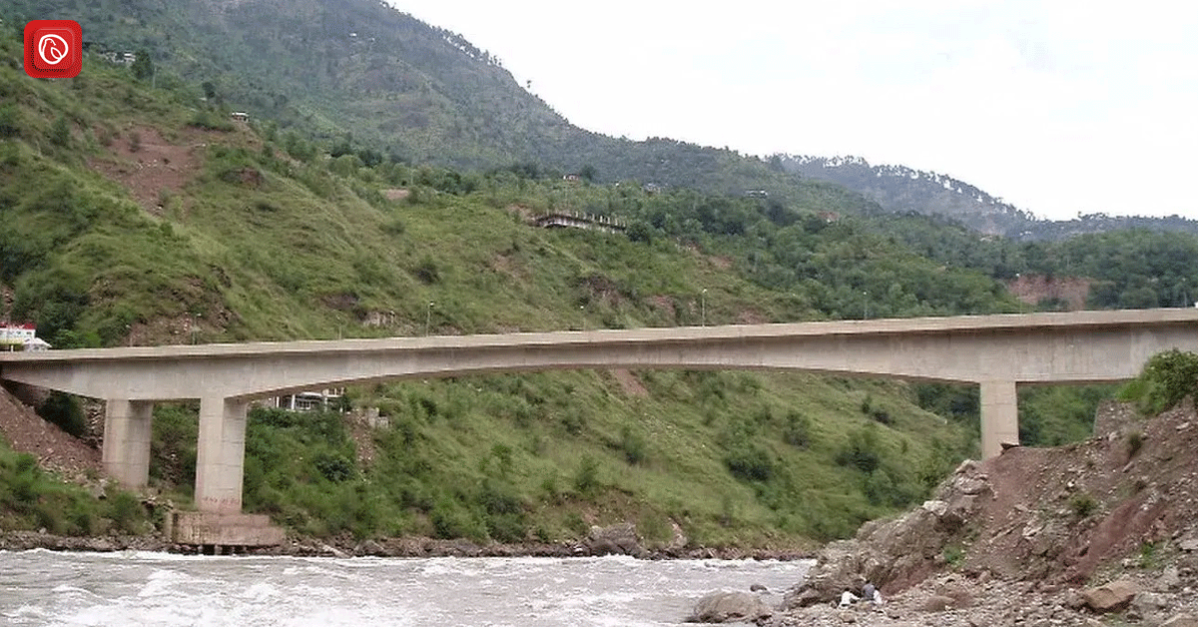
The Kohala Bridge, connecting Murree and Azad Kashmir, is a must-visit destination for anyone seeking to experience the breathtaking scenery of Pakistan. Spanning over the River Neelum, the bridge offers stunning views of the surrounding mountains and lush greenery. Visitors can relax and enjoy the serene atmosphere or indulge in recreational activities such as picnicking and photography.
In this blog post, Graana.com will provide a comprehensive overview of the Kohala Bridge, including its history, significance, and nearby attractions. Additionally, we will answer frequently asked questions to help you plan your visit effectively.
Overview
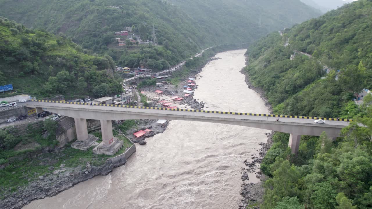
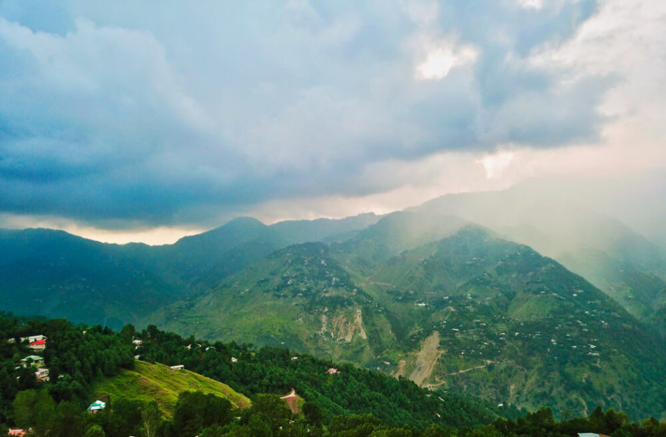
The Kohala Bridge, connecting Murree and Azad Kashmir, spans over the River Neelum, also known as Neelum Point. Underneath the bridge, there are various spots and eateries where visitors can enjoy the riverside ambience, even dipping their feet in the water. The speciality here is the delectable white trout fish dish. Guests can relax, capture photos, and soak in the picturesque surroundings, encompassed by majestic mountains and complemented by the drifting clouds above.
The residents are known for their exceptional hospitality and generosity. The cuisine is top-notch and prepared with finesse. It is highly recommended for anyone visiting Muzaffarabad AJK to take a pause and savour the experience. However, for those unfamiliar with the area, it is advisable to travel during daylight hours, as the roads can become slightly tricky and slippery in inclement weather.
Location
The town of Kohala is home to the renowned Kohala Bridge, which extends over the Jhelum River, commonly known as the Kohala Bridge Azad Kashmir. Kohala serves as a pivotal gateway to the districts of Muzaffarabad and Bagh in Azad Kashmir, facilitating access to these regions. Positioned at the convergence of the borders of Punjab, Kashmir, and Khyber Pakhtunkhwa, Kohala holds a strategic location.
Kohala Bridge History
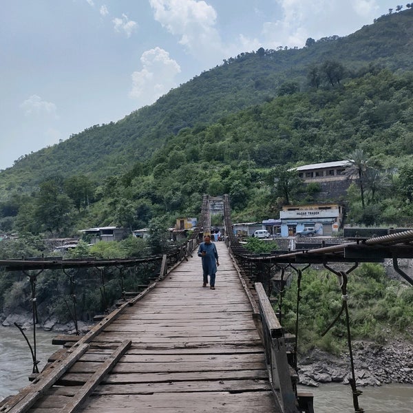
The devastation caused by a flood destroyed two bridges, which were originally constructed in 1877 and 1890. Subsequently, a newer portable metal bridge, built in 1899, collapsed in 1990. A third bridge was then erected in 1993, situated close to the northernmost point of Union Council Birote Kalan in the Abbottabad District.
Kohala was historically a favoured destination for Hindu pilgrims who paid homage to Kohala Dewi. Around 500 BCE, a temple was constructed midway between Kohala and Knair Pull, marking Kohala’s emergence as a significant hub for the Buddhist community. This route was utilised by Buddhist monks, connecting from Taxila to the Buddhist university in Sharda, Kashmir.
Eighteenth Century
During the mid-eighteenth century, the Kohala region was controlled by the Karlal tribe. However, when the Dhond Abbasi clan launched an attack, they seized both Bakot and Kohala. Consequently, ownership of Kohala shifted to the Birote clan. Later on, the ownership of Kohala was transferred to the Mojwals of Bakote following the forced relocation of the Mojwal tribe from the Dhond Abbasi clan to Bakote.
Nineteenth Century
In the early 1800s, Malka Singh, the ruler of Rawalpindi, captured Kohala through military force. In 1814, Malka Singh, in collaboration with the Dogra kingdom of Kashmir under the leadership of Gulab Singh, established Kohala as a trading centre for Hindu merchants.
British Era
Originally recognised as Patan, the area underwent a name change to Kohala in 1863 under the authority of Sir James Abbott, the first commissioner of the Hazara district.
In 1873, the British government granted a 100-year lease to Murree, assuming management control of Kohala. The Punjabi government later extended this lease in 1973 for an additional 20 years, ultimately reuniting it with Bakote in 1993.
For the convenience of high-ranking officials, the government of British India constructed a rest house south of Kohala. The eastern lawn of the guest house was adorned with olive, banana, apple, and silkworm trees. Thirty personnel were employed at the guest house.
In 1930, Allama Iqbal (the Poet of the East) penned “Hammala,” the opening poem of his book Bang-e-Dra, during his stay at this lodge. Until 1947, Kohala’s market thrived as the most populous area, with Hindu traders predominantly facilitating trade between Punjab and Kashmir from Dewal, Murree, Rawalpindi, and Punch.
Post-Independence
Following Pakistan’s independence in 1947, Kohala was incorporated into the territory of Pakistan.
Weather
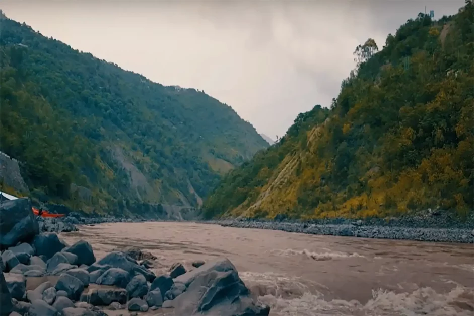
Kohala Point typically experiences a climate ranging from very cold to moderately cold, possibly influenced by its proximity to Neelum Point. The highest temperatures fluctuate between 28 degrees Celsius and 32 degrees Celsius (89.6 degrees Fahrenheit), while the lowest temperatures range from 16 degrees Celsius to 17 degrees Celsius (60.8 degrees Fahrenheit to 62.6 degrees Fahrenheit). Consequently, Kohala offers an enjoyable setting for picnics throughout the year, given its delightful weather conditions.
Ideal Time to Visit
Visiting during the summer evenings is particularly delightful. The presence of tents or sheds provides convenient shelters, and the awe-inspiring scenery further enhances the experience.
Reaching Kohala Bridge
The most economical means of transportation from Islamabad to Kohala Bridge is by driving, which typically takes around 1 hour and 14 minutes and costs between Rs. 2000 and Rs. 3300.
For the fastest but pricier option, one can hire a cab, which typically costs between Rs. 6000 and Rs. 7000m and takes approximately 1 hour and 14 minutes to reach Kohala Bridge from Islamabad.
Attractions Near Kohala Bridge
The Kohala Bridge, also known as Kohala Bridge Azad Kashmir, serves as the connection between Azad Kashmir, KPK and Punjab. The local inhabitants commonly refer to the area as Kohala, which ultimately lent its name to the bridge itself.
Directly beneath the bridge flows the River Neelum, offering a picturesque view of the Kohala picnic point. Below the bridge, there are various spots and establishments where visitors can sit along the riverbank or even in the water, ranging from the water’s edge to the riverbank itself.
This setting provides ample opportunities for relaxation and photography amidst the serene waters. The presence of surrounding mountains and drifting clouds above the highest peaks further enhances the enchanting ambience.
It is highly recommended for travellers en route to Muzaffarabad, AJK, to make a stopover at this location to savour its beauty. For first-time visitors, it is advisable to plan your travels during daylight hours, as the roads might become slightly challenging and slippery after rainfall.
Kashmir Waterfall
The nearby Kashmir waterfall further enriches the allure of the Kohala Bridge vicinity. You should also take the time to admire the picturesque view of this Kashmir waterfall.
Bhurban
The journey by road from Bhurban to Kohala Bridge covers a distance of approximately 20 kilometres. Alternative modes of transportation, including buses and cars, can also be utilised. Alongside the estimated travel time, refer to the article “Driving Directions from Bhurban to Kohala Bridge” for detailed route guidance.
Bakote
Situated in the eastern region of the Abbottabad District, there exists a cluster of Union Councils collectively referred to as Circle Bakote. The term “Bakote” translates to “land of forts” and aptly describes the area. Circle Bakote is traversed by two prominent rivers, namely Kanhar and Jehlum.
Frequently Asked Questions (FAQs)
Following are some of the most common questions about Kohala Bridge.
What is the significance of the Kohala Bridge?
This bridge serves as a crucial link connecting Azad Kashmir, KPK and Punjab, facilitating travel and trade between the regions.
Are there any recreational activities available near Kohala Bridge?
Yes, there are various recreational opportunities available, including picnicking, photography, and enjoying the scenic views of the River Neelum.
Can visitors access the river from Kohala Bridge?
Yes, there are accessible points along the bridge and its surroundings where visitors can reach the River Neelum.
What is the best time to visit Kohala Bridge?
The ideal time to visit is during the daytime to fully appreciate the natural beauty and avoid any potential road challenges.
Are there any restaurants or eateries near Kohala Bridge?
Yes, there are several restaurants and eating establishments underneath the bridge where visitors can enjoy local cuisine and delicacies.
Can one capture scenic photographs from Kohala Bridge?
Absolutely. The picturesque surroundings, including the river, mountains, and clouds, offer excellent opportunities for capturing stunning photographs.
How long has the Kohala Bridge been in operation?
The Kohala Bridge has been in operation for several decades, serving as a vital transportation link for the region.
Is there any historical significance of the Kohala Bridge?
While primarily known for its functional importance in transportation, the bridge area has historically been a vital link between different regions and cultures throughout the years.
For more related information, visit Graana Blog.
